
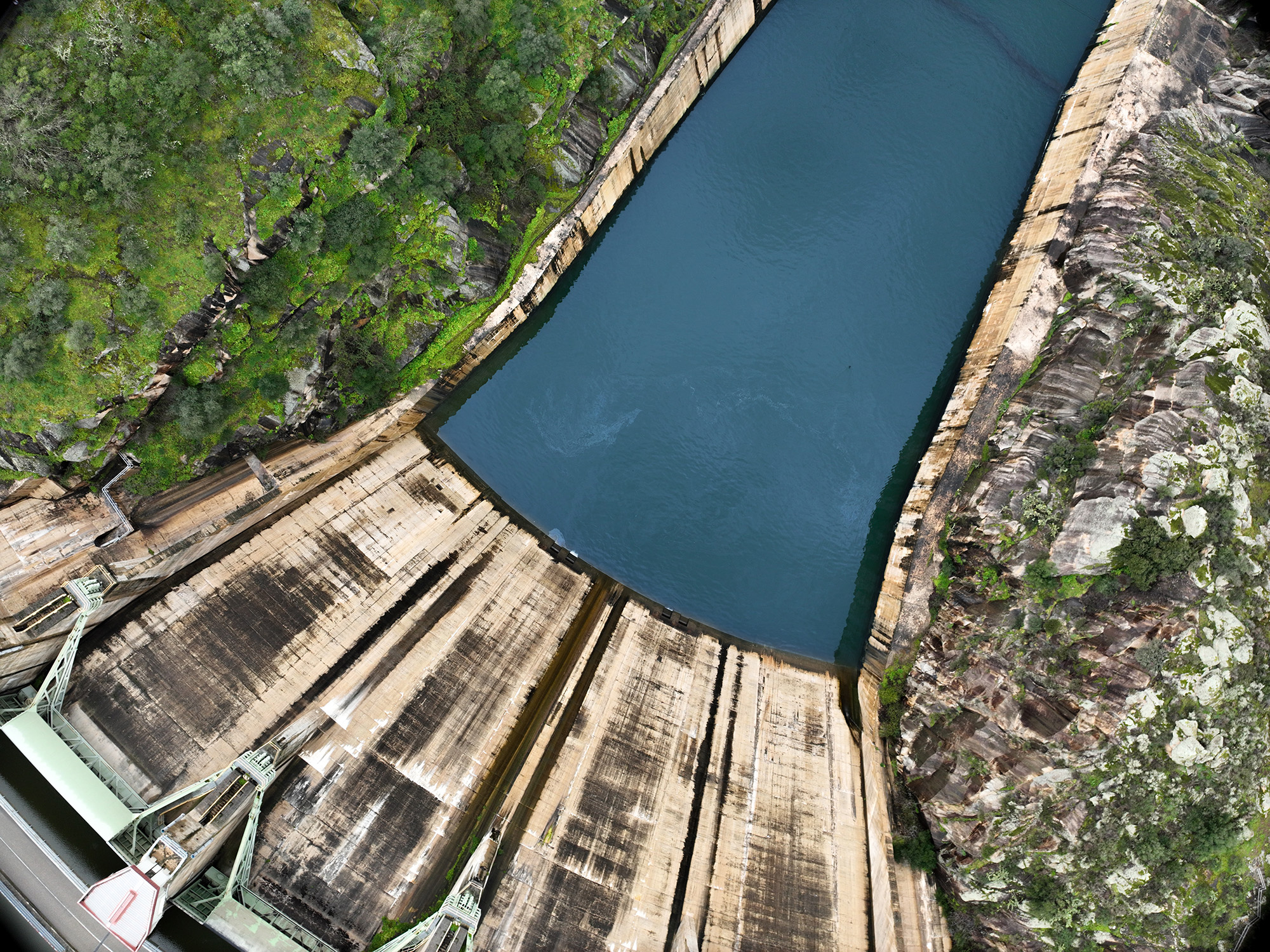
Historical and Hydrological Forecast (7–10 days):
Modelling of flow forecasts for a group of rivers in the northern region (Sabor, Tâmega, Paiva, Ave and Cávado), incorporating historical data and hydrological forecasts up to 7–10 days.
Medium- and long-term climate scenarios: Provision of currently used medium- and long-term hydrological scenarios for Portugal’s rivers and reservoirs, contributing to strategic planning and policy development, and helping to identify trends and potential future challenges relating to water availability and ‘demand’.
Agricultural Sector: Implementation of a pilot scheme aimed at the agricultural sector to provide information covering different time scales (short, medium and long term) for water management.
Public Sector: Implementation of a pilot scheme aimed at the public sector to provide information covering different time scales (short, medium and long term) for hydrological management.
Promoters
Geodouro
Lead Project Manager responsible for the development of the WATERKNOW Geospatial Knowledge Infrastructure (GKI). This role will involve analysing the solution’s technical specifications, developing the solution and integrating the various components that will make up WATERKNOW, as well as creating the two planned pilot projects for the platform. Together with the other project managers, the role will also involve drawing up the commercial plan for the commercialisation of WATERKNOW.
UTAD
Co-Principal Investigator, who will contribute to the scientific research for the project, will be responsible for researching and developing climate models to project medium- and long-term hydrological scenarios, as well as for researching, specifying and defining the parameters for hydrological forecasting of certain rivers in northern Portugal, such as the Sabor, Tâmega, Paiva, Ave and Cávado. They will contribute to the scientific dissemination of the project and participate in the development of the WATERKNOW business plan.
INESC TEC
The Co-Promoter, who will contribute to the scientific research for the project, will be responsible for the study, development and integration of pre-trained AI models to exploit the GKI WATERKNOW knowledge layer, and for the study and standardised integration of data from sensor networks. They will contribute to the communication and dissemination of scientific results, collaborating on the definition of the future commercialisation plan for the solution.